Location
Middle East, bordering the Gulf of Oman and the Persian Gulf, between Oman and Saudi Arabia
Geographic Coordinates
24 00 N, 54 00 E
Map References
Middle East
Area
Total: 83,600 sq km
Land: 83,600 sq km
Water: 0 sq km
Country Comparison to the World: 116
Area Comparative: Slightly larger than South Carolina; slightly smaller than Maine
Land Boundaries
Total: 1,066 km
Border countries (2): Oman 609 km, Saudi Arabia 457 km
Coastline: 1,318 km
Maritime Claims
Territorial sea: 12 nm
Exclusive economic zone: 200 nm
Contiguous zone: 24 nm
Continental shelf: 200 nm or to the edge of the continental margin
Climate
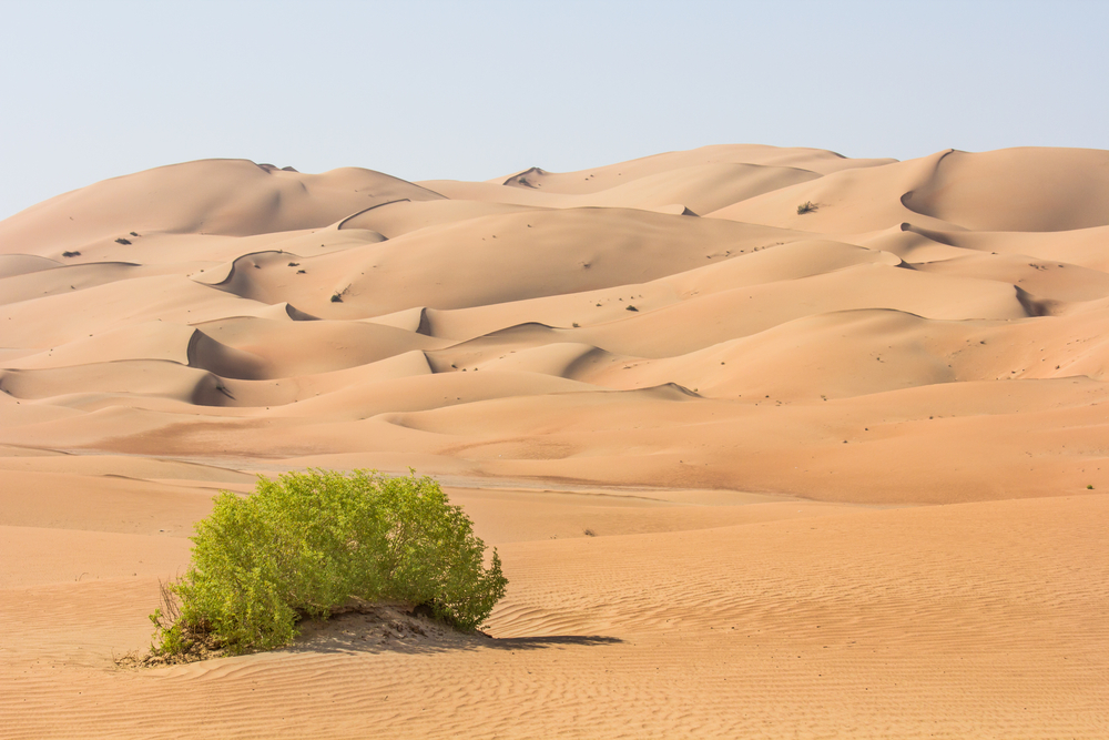
Desert; cooler in eastern mountains
Terrain
Flat, barren coastal plain merging into rolling sand dunes of vast desert; mountains in east
Elevation
Mean elevation: 149 m
Lowest point: Persian Gulf 0 m
Highest point: Jabal Yibir 1,527 m
Natural Resources
Petroleum, natural gas
Land Use
Agricultural land: 4.6% (2011 est.)
Arable land: 0.5% (2011 est.)
Permanent crops: 0.5% (2011 est.)
Permanent pasture: 3.6% (2011 est.)
Forest: 3.8% (2011 est.)
Other: 91.6% (2011 est.)
Irrigated land: 923 sq km (2012)
Population Distribution
Population is heavily concentrated to the northeast on the Musandam Peninsula; the three largest emirates—Abu Dhabi, Dubai, and Sharjah—are home to nearly 85% of the population
Natural Hazards
Frequent sand and dust storms
Current Environmental Issues
Air pollution; rapid population growth and high energy demand contribute to water scarcity; lack of natural freshwater resources compensated by desalination plants; land degradation and desertification; waste generation, beach pollution from oil spills
Notes
- Strategic location along southern approaches to Strait of Hormuz, a vital transit point for world crude oil
Article written for World Trade Press by CIA Factbook, Current as of 5 May, 2021.
Copyright © 1993-2025 World Trade Press. All rights reserved.


